
Sungei Kadut is an industrial estate and planning area located in the North Region of Singapore. It is bounded by Bukit Panjang and Choa Chu Kang to the south, Mandai to the east, as well as Lim Chu Kang and the Western Water Catchment to the west. Total Area: 16 […]
Monthly Archives: May 2020
46 posts
Sembawang is a planning area and residential town located the North Region of Singapore. Sembawang planning area is bordered by Simpang to the east, Mandai to the south, Yishun to the southeast, Woodlands to the west and the Straits of Johor to the north. Total Area: 12.34 km2 (4.76 sq […]
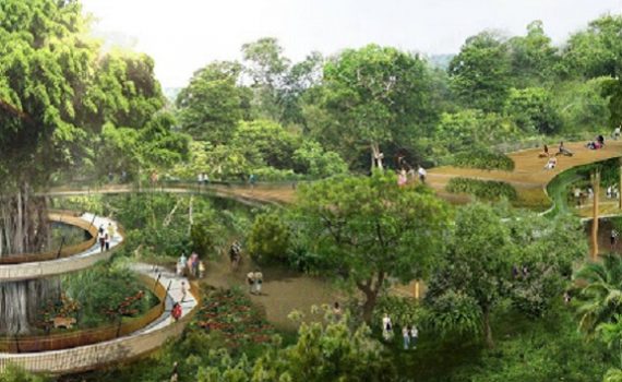
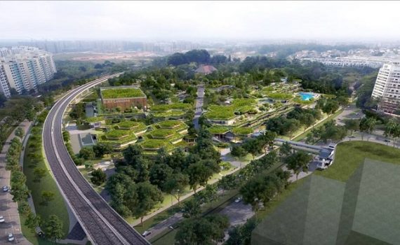
Mandai is a planning area located in the North Region of Singapore, famously known for being the access point of the Singapore Zoo and Night Safari. Total Area: 11.8 km2 (4.6 sq mi) Total Population (2018): 2,090 Public Transport in Mandai Bus: 160, 178, 927, 960, 961 Underground: […]
Lim Chu Kang is a planning area located in the northwestern part of the North Region of Singapore, bordering the Western Water Catchment to the west and south, Sungei Kadut to the east and the Straits of Johor to the north. Total Area: 17.3 km2 (6.7 sq mi) Total Population […]
Tampines is a planning area and residential town in the geographical region of Tanah Merah located along the south-eastern coast of the East Region of Singapore. Total Area: 20.89 km2 (8.07 sq mi) Total Population (2019): 256,730 Public Transport in Tampines Bus: 129, 15, 23 Underground: DOWNTOWN LINE, EAST WEST […]

Paya Lebar is a planning area located in the East Region of Singapore, bordered by Hougang to the west, Sengkang to the northwest, Tampines to the east, Bedok to the south and Pasir Ris to the north. Public Transport in Paya Lebar Bus: 30 Underground: EAST WEST LINE Schools near […]

Pasir Ris is a planning area and residential town located in the East Region of Singapore. Total Area: 15.02 km2 (5.80 sq mi) Total Population (2019): 148,020 Public Transport in Pasir Ris Bus: 12, 15, 17, 5, 518, 81, 89 Underground: EAST WEST LINE Schools near Pasir Ris Pasir Ris […]
Changi Bay is a planning area located in the geographical region of Tanah Merah in the East Region of Singapore. Total Area: 1.7 km2 (0.7 sq mi) Public Transport in Changi Bay Bus: 35 Schools near Changi Bay SUTD Building 5 MindChamps PreSchool @ Changi Airport Terminal 3 The Japanese […]
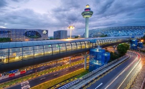
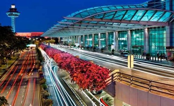
Changi is a planning area located in the geographical region of Tanah Merah in the East Region of Singapore. Total Area: 40.6 km2 (15.7 sq mi) Total Population (2019): 1,830 Public Transport in Changi Bus: 118, 2, 47 Underground: DOWNTOWN LINE, EAST WEST LINE Schools near Changi The Japanese School […]
Bedok is a planning area and matured residential town located in the geographical region of Tanah Merah along the south-eastern coast of the East Region of Singapore. Total Area: 21.69 km2 (8.37 sq mi) Total Population (2019): 279,380 Public Transport in Bedok Bus: 16, 24, 45, 7 Underground: EAST WEST […]