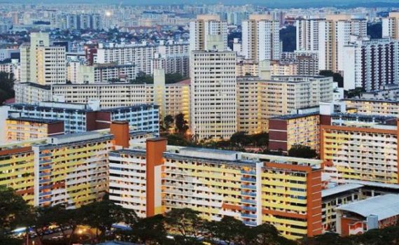
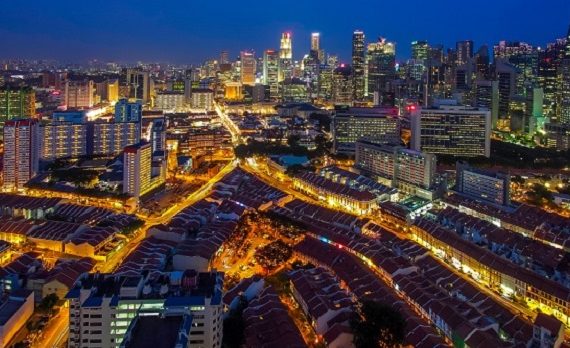
Toa Payoh is a planning area and matured residential town located in the northern part of the Central Region of Singapore. Total Area: 8.17 km2 (3.15 sq mi) Total Population (2019): 120,650 Public Transport in Toa Payoh Bus: 105, 143, 153, 56 Underground: NORTH SOUTH LINE Schools near Toa Payoh […]
Monthly Archives: May 2020
46 posts
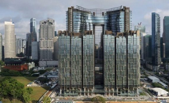
Straits View is a planning area located in the Central Area of the Central Region of Singapore. The area is currently relatively undeveloped, with fewer commercial developments compared to the adjacent Downtown Core. Public Transport in Straits View Bus: 10, 107, 97, 970 Underground: CIRCLE LINE, DOWNTOWN LINE, EAST WEST […]
Rochor is a planning area located within the Central Area of the Central Region of Singapore. Rochor shares boundaries with the following planning areas – Kallang to the north and east, Newton to the west, as well as Museum and the Downtown Core to the south. Total Area: 1.61 km2 […]
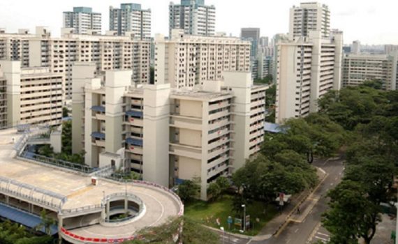
Queenstown is a planning area and satellite residential town situated on the south-westernmost fringe of the Central Region of Singapore. Total Area: 20.43 km2 (7.89 sq mi) Total Population (2019): 96,340 Public Transport in Queenstown Bus: 145, 186, 195, 51, 970 Underground: EAST WEST LINE Schools near Queenstown Queenstown Primary […]
Outram is a planning area located within the Central Area of the Central Region of Singapore. The area is bordered by these planning areas: Singapore River to the north, the Downtown Core to the east and south, and Bukit Merah to the west. Total Area: 1.37 km2 (0.53 sq mi) […]
Novena is a planning area located within the Central Region of Singapore. Novena is bounded by Toa Payoh to the north, Bukit Timah to the west, Tanglin to the south and Kallang to the east. Total Area: 8.98 km2 (3.47 sq mi) Total Population (2019): 49,210 Ethnic groups: Chinese 38,840 […]
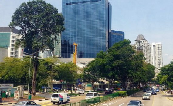
Newton is a town that is located within the Central Area of the Central Region of Singapore. Newton’s namesake Newton Road, however, is located within Novena Planning Area, and starts at Newton Circus in the south and ends at the junction with Thomson Road in the north. Total Area: 2.07 […]
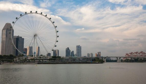
Marine Parade is a planning area and residential estate located in the Central Region of Singapore. Straddling the tip of the southeastern coast of Pulau Ujong, Marine Parade serves as a buffer between the Central and East regions of the city-state. Total Area: 6.12 km2 (2.36 sq mi) Total Population […]
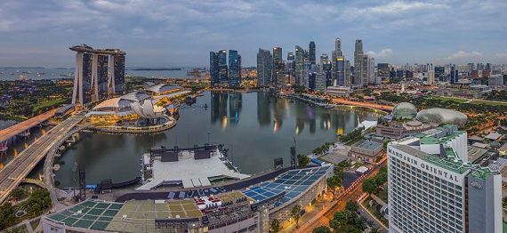
Marina South is a planning area located within the Central Area of the Central Region of Singapore. It is largely home to Gardens by the Bay as well as the Marina Barrage. Public Transport in Marina South Bus: 402 Underground: : North South Line Schools near Marina South Coleman Creative […]
Marina East is a planning area located in the Central Area of the Central Region of Singapore, covering 140 hectares (350 acres) of reclaimed land. Public Transport in Marina East Bus: 158A, 30 Underground: Circle Line Schools near Marina East Stamford Primary School Madrasah Alsagoff Al-Arabiah Broadrick Secondary School Hospitals […]