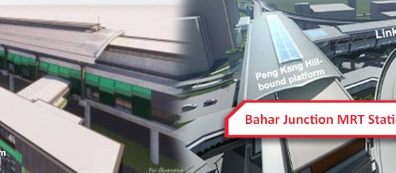
View Bahar Junction MRT Station in Jurong West, Singapore address, services/facilities, route map, website and more.
Brindha
394 posts
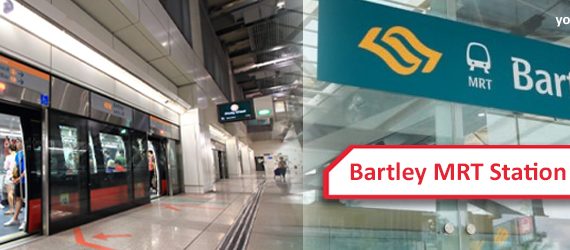
View Bartley MRT Station in Serangoon, Toa Payoh, Singapore address, services/facilities, route map, website and more.
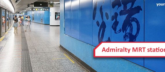
View Admiralty MRT Station in Woodlands, Singapore address, services/facilities, route map, website and more.
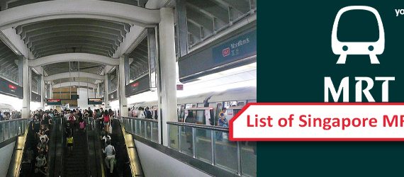
Singapore MRT Station Most of the MRT station in Singapore has the following facilities Facilities and services: Mobile phone, 3G and 4G service are available in every part of the network. Bomb shelters Underground stations and trains are air-conditioned General Ticketing Machines (GTMs) Restrooms and Payphones Retail shops and kiosks, […]
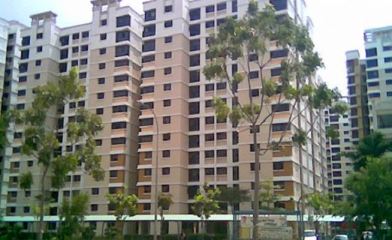
Jurong West is a planning area and residential town located in the West Region of Singapore. Total Area: 9.87 km2 (3.81 sq mi) Total Population (2019): 264,860 Public Transport in Jurong West Bus: 157, 185, 187, 198 Underground: EAST WEST LINE Schools near Jurong West Canadian International School Singapore Jurong […]

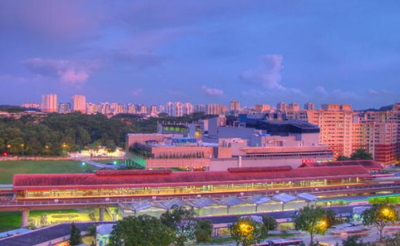
Jurong East is a planning area and residential town located in the West Region of Singapore. Total Area: 17.83 km2 (6.88 sq mi) Total Population (2019): 79,240 Public Transport in Jurong East Bus: 180, 185, 187, 198, 334, 99 Underground: EAST WEST LINE Schools near Jurong East Yuhua Primary School […]

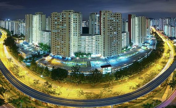
Clementi is a planning area and residential town located at the easternmost fringe of the West Region of Singapore. Total Area: 9.49 km2 (3.66 sq mi) Total Population (2019): 92,420 Public Transport in Clementi Bus: 106, 147, 154, 166, 184, 185, TS6 Underground: EAST WEST LINE Schools near Clementi Clementi […]
Choa Chu Kang is a planning area and residential town located at the north-westernmost point of the West Region of Singapore. Total Area: 6.11 km2 (2.36 sq mi) Total Population (2019): 190,890 Public Transport in Choa Chu Kang Bus: 188, 925, 927, 974 Underground: NORTH SOUTH LINE Schools near Choa […]
Bukit Panjang is a planning area and residential town located in the West Region of Singapore. Total Area: 8.99 km2 (3.47 sq mi) Total Population (2019): 139,280 Public Transport in Bukit Panjang Bus: 184, 960, 963, 966, 972 Underground: DOWNTOWN LINE Light rail: BUKIT PANJANG LRT Schools near Bukit Panjang […]

Bukit Batok is a planning area and matured residential town located along the eastern boundary of the West Region of Singapore. Total Area: 11.13 km2 (4.30 sq mi) Total Population (2019): 153,740 Public Transport in Bukit Batok Bus: 171, 176, 963, 973 Underground: DOWNTOWN LINE Schools near Bukit Batok Dazhong […]