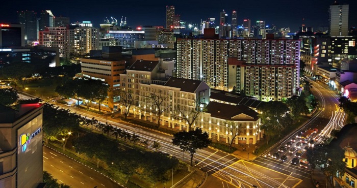
Rochor is a planning area located within the Central Area of the Central Region of Singapore. Rochor shares boundaries with the following planning areas – Kallang to the north and east, Newton to the west, as well as Museum and the Downtown Core to the south.
- Total Area: 1.61 km2 (0.62 sq mi)
- Total Population (2019): 13,340
Public Transport in Rochor
![]()
- Bus: 57, 851
- Underground: DOWNTOWN LINE
Schools near Rochor

| Stamford Primary School | Madrasah Alsagoff Al-Arabiah | Viv’s Schoolhouse |
| NAFA Arts Preschool | KKMC Kindergarten | Madrasah Aljunied Al-islamic |
Hospitals near Rochor

| Farrer Park Hospital | Raffles Hospital | Tan Tock Seng Hospital |
| kalikovil | Mount Elizabeth | Syndrome hospital |
Park near Rochor

| Small Open Park | Mount Emily Park | Istana Park |
| Kampong Glam Park | Kallang Riverside Park | Fort Canning Park |
Malls near Rochor

| Bugis+ | Little India Arcade | Sim Lim Square |
| Bugis Square | City Square Mall | Burlington Square |
Restaurants near Rochor

| Zam Zam Restaurant, Singapore | Wing Seong Fatty’s Restaurant | En Sushi |
| Artichoke | Seiwaa Okonomiyaki & Teppanyaki Restaurant | Restaurant in Bugis |
| Greenleaf Cafe | Positano Risto | Komala Vilas Restaurant |
Hotels near Rochor

| Hotel Bencoolen | The Great Madras | Park 22 hotel Little India |
| Strand Hotel Singapore | Arianna Hotel | Hotel Boss |
| Oxford Hotel | Mayo Inn | Broadway Hotel |
Nightlife / Clubs / Bars near Rochor

| Shanghai Jazz | Magic Carpet Bollywood Club | Club V6 Armani |
| Club J’wels | Club England | Club Colaba Bollywood |
Worship place in Rochor

| Thian Sing Keong Temple | Shi Niu Dong Temple | FU LU SHOU SI MIAN FO |
| Sultan Mosque | Sri Krishnan Temple | Shree Lakshminarayan Temple |
