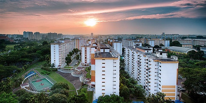
Sungei Kadut is an industrial estate and planning area located in the North Region of Singapore. It is bounded by Bukit Panjang and Choa Chu Kang to the south, Mandai to the east, as well as Lim Chu Kang and the Western Water Catchment to the west.
- Total Area: 16 km2 (6 sq mi)
- Total Population (2018): 780
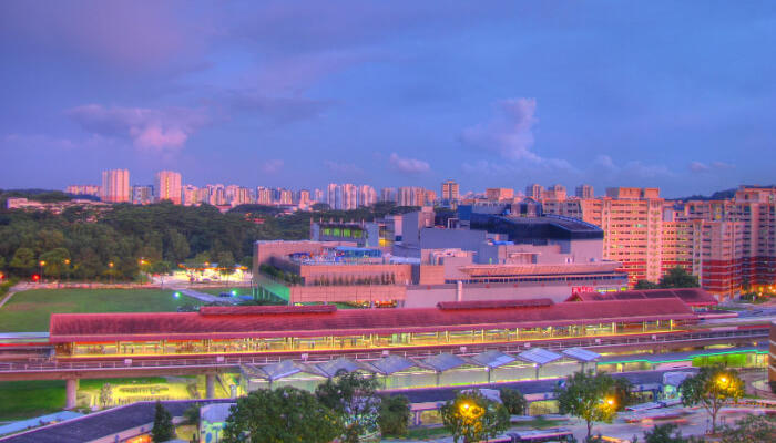
Public Transport in Sungei Kadut
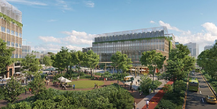
![]()
- Bus: 925
- Underground: NORTH SOUTH LINE
Schools near Sungei Kadut

| Singapore American School | Unity Primary School | West Spring Secondary School |
| Beacon Primary School | Woodlands Secondary School | Greenridge Primary School |
| Marsiling Primary School | Albany Montessori Kindergarten | Regent Secondary School school |
Hospitals near Sungei Kadut

| Queenstown polyclinc | Anaestesiologi | Stor Integrasi |
| Sp Clinic |
Park near Sungei Kadut

| Zhenghua Nature Park | Marsiling Park | Villa Verde Park |
| Kranji Reservoir Park | Stagmont Park | Choa Chu Kang Park |
Malls near Sungei Kadut

| YewTee Point | Fajar Shopping Centre | Lot One Shoppers’ Mall |
| Hillion Mall | Bukit Panjang Plaza | Junction 10 |
Restaurants near Sungei Kadut

| Lucky Cuisine | Ji Li Eating House | One Ocean Seafood |
| One Ocean Restaurant | Kunyit Kedai | Xiang Lai Bak Kut Teh |
Nightlife / Clubs / Bars near Sungei Kadut

| Cheval Cafe/Bar/Bistro | JAZZ AND WHITE PUB | Zouk Singapore |
| Bogan Indian pub & Cafe JB sentosa | Club V6 Armani | Vedalam Pub & Cafe |
Worship place in Sungei Kadut

| Bo Tien Temple | Chong Hui Temple | Sri Arasakesari Sivan Temple |
| Chek Chai Long Chuen Temple | Shan Xing Tan | Soon Leng Temple |
